My digital data does not simply fly from one point to another.
For a long time the Internet seemed to me as something invisible
and immaterial. But my data is just not in the cloud. It goes through
cables, data centers and masts. A whole network of cables
lies under water and transmits data through fibers thin as hair.
For a long time the Internet seemed to me as something invisible
and immaterial. But my data is just not in the cloud. It goes through
cables, data centers and masts. A whole network of cables
lies under water and transmits data through fibers thin as hair.
How did it get there?
Traces of colonialism can be still found in cyberspace. In
the days of telegraphy, gutta, a rubber-like substance made from
the dried, coagulated milk juice of various sapotene plants, allowed
cables to be insulated and enabled data transmission in
water. The first submarine cable went from Britain to the Americas.
Today new cables have replaced the old ones. However,
the routes have remained the same. Fiber optic cables from
the global south lead back to their former colonial powers.
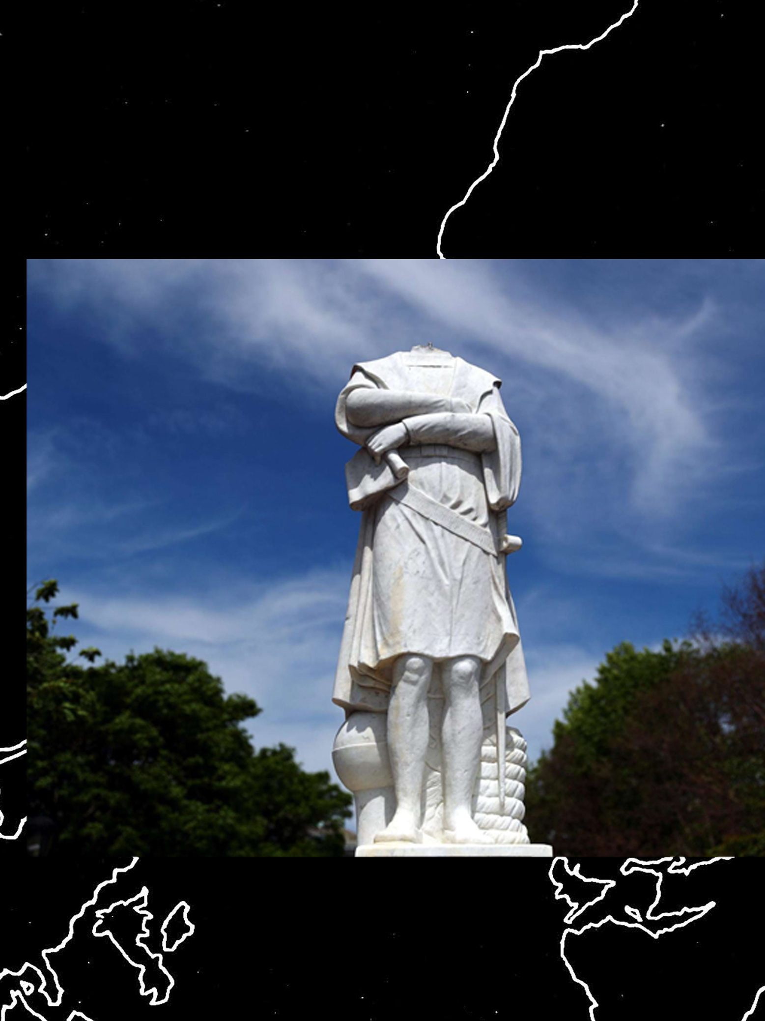
Colonialism was not a one-off event, nor was it a clearly defined
era or a geographically limited phenomenon. It is is deeply
rooted in our society and therefore its architectures and infrastructures.
I have taken on the task of meticulously uncover the
remains and traces of colonialism in internet infrastructures.
How would our Internet look like:
era or a geographically limited phenomenon. It is is deeply
rooted in our society and therefore its architectures and infrastructures.
I have taken on the task of meticulously uncover the
remains and traces of colonialism in internet infrastructures.
How would our Internet look like:
If the routes were different?
If the names were different?
Where would our data flow?
If the names were different?
Where would our data flow?
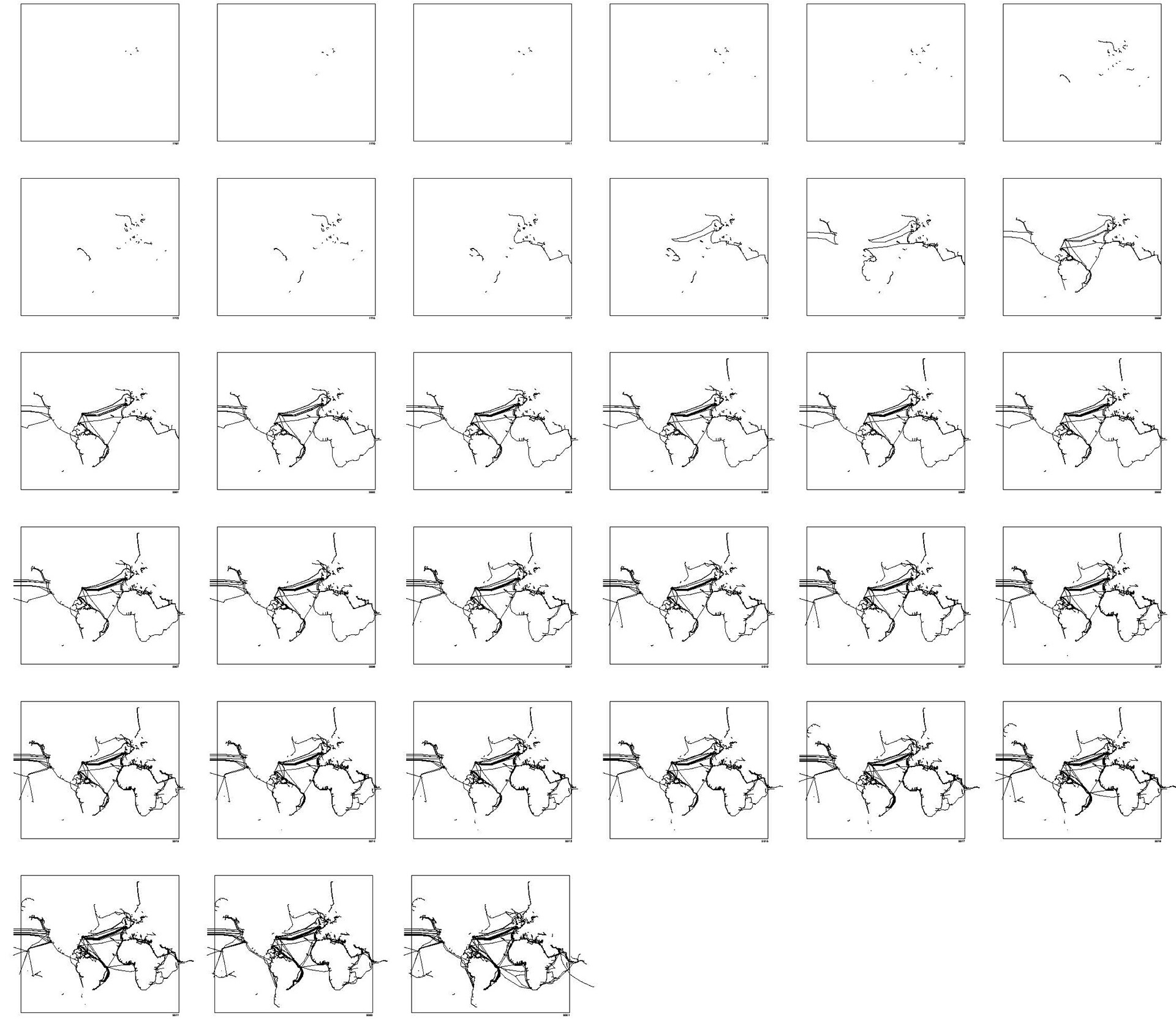
Mapping routes of fibre optic cables 1989 - 2021
The starting point for this work was the video artist Tabita Rezaire. In her video deep down tidal (2017), she deals with the connection connection between the fibre optic internet cables in the sea and the old slave routes. Her work demonstrates how technologies reinforce postcolonial
inequalities and further reproduce power relations.
inequalities and further reproduce power relations.
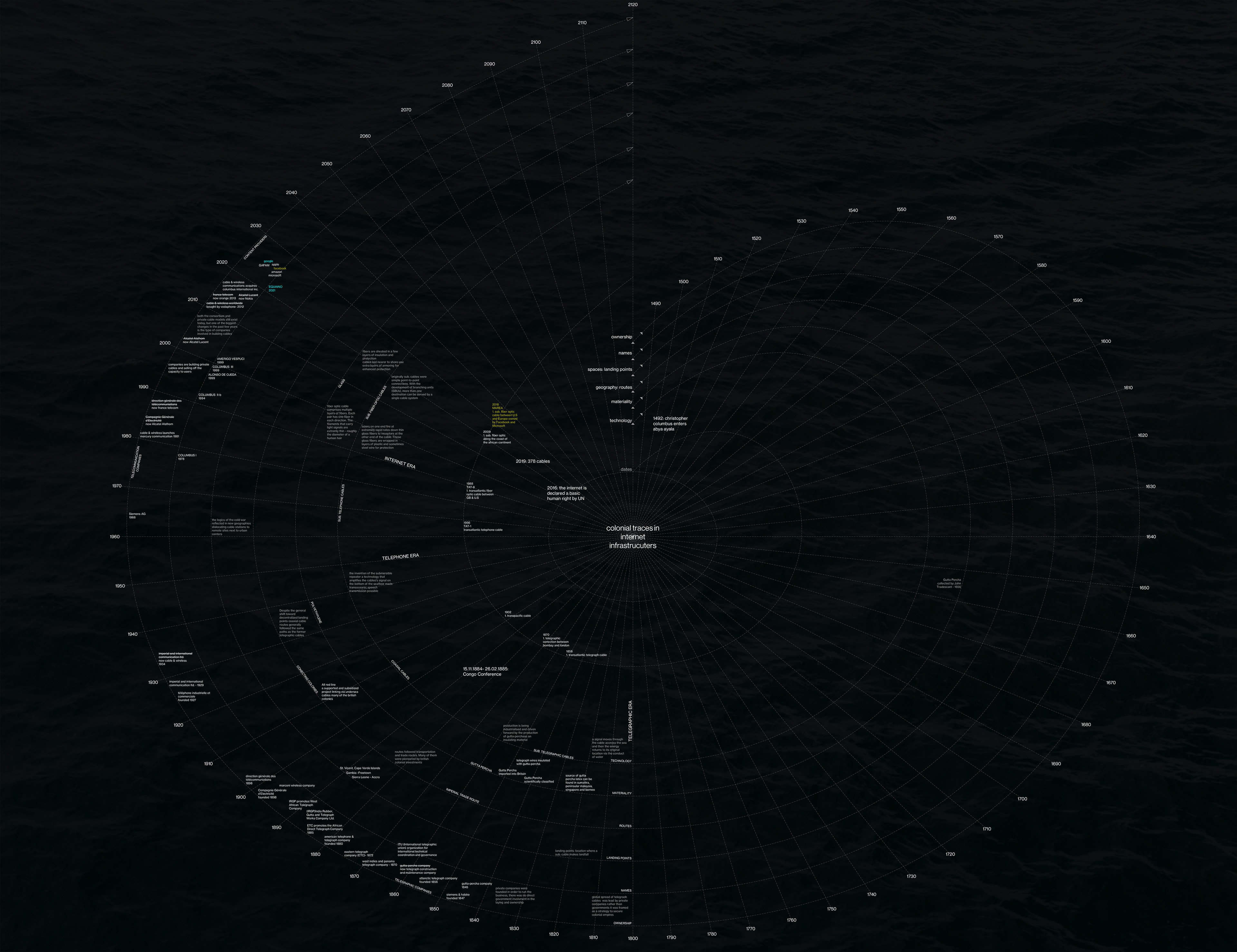
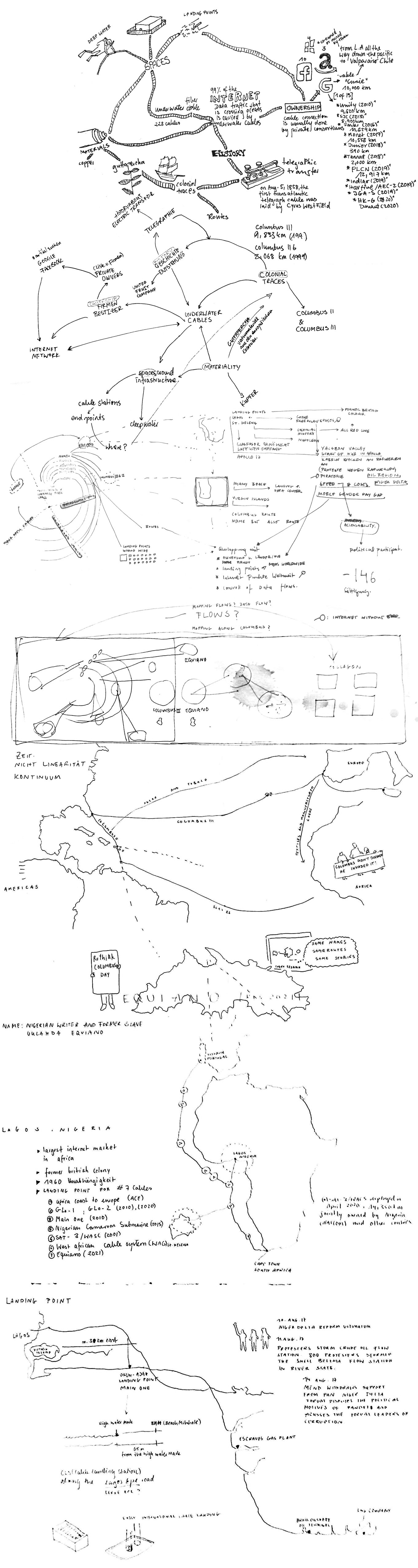
Non-linear time mapping - colonial traces in data infrastructure between 1400 - 2120 I state of map january 2022
In this research project, I have been working with counter-mapping methods, which proved to be particularly suitable for depicting the embedding of data infrastructures within colonial continuities. According to my research, these colonial traces can be found not only in the routes, but also in the naming, materiality, geography and spaces such as routes and landing points, as well as on the companies that own and manage them. The information collected was temporally classified in an information structure under the respective categories. This information does not follow a linear timeline, but develops into a spiral. In the process, parallelisms and connections become visible. The idea was to offer an alternative to the linear representation of time in order to illustrate the continuity of colonial relations.
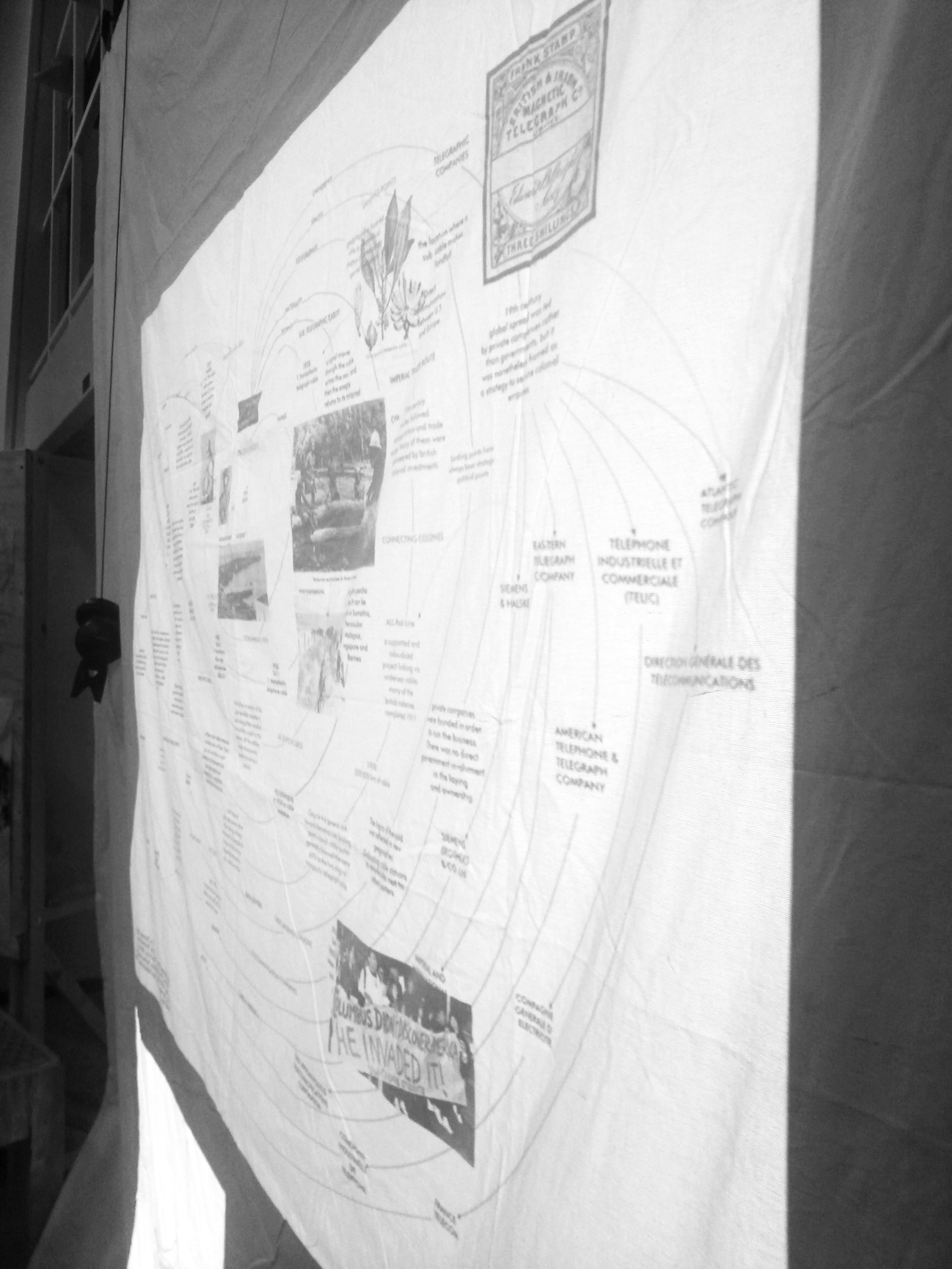
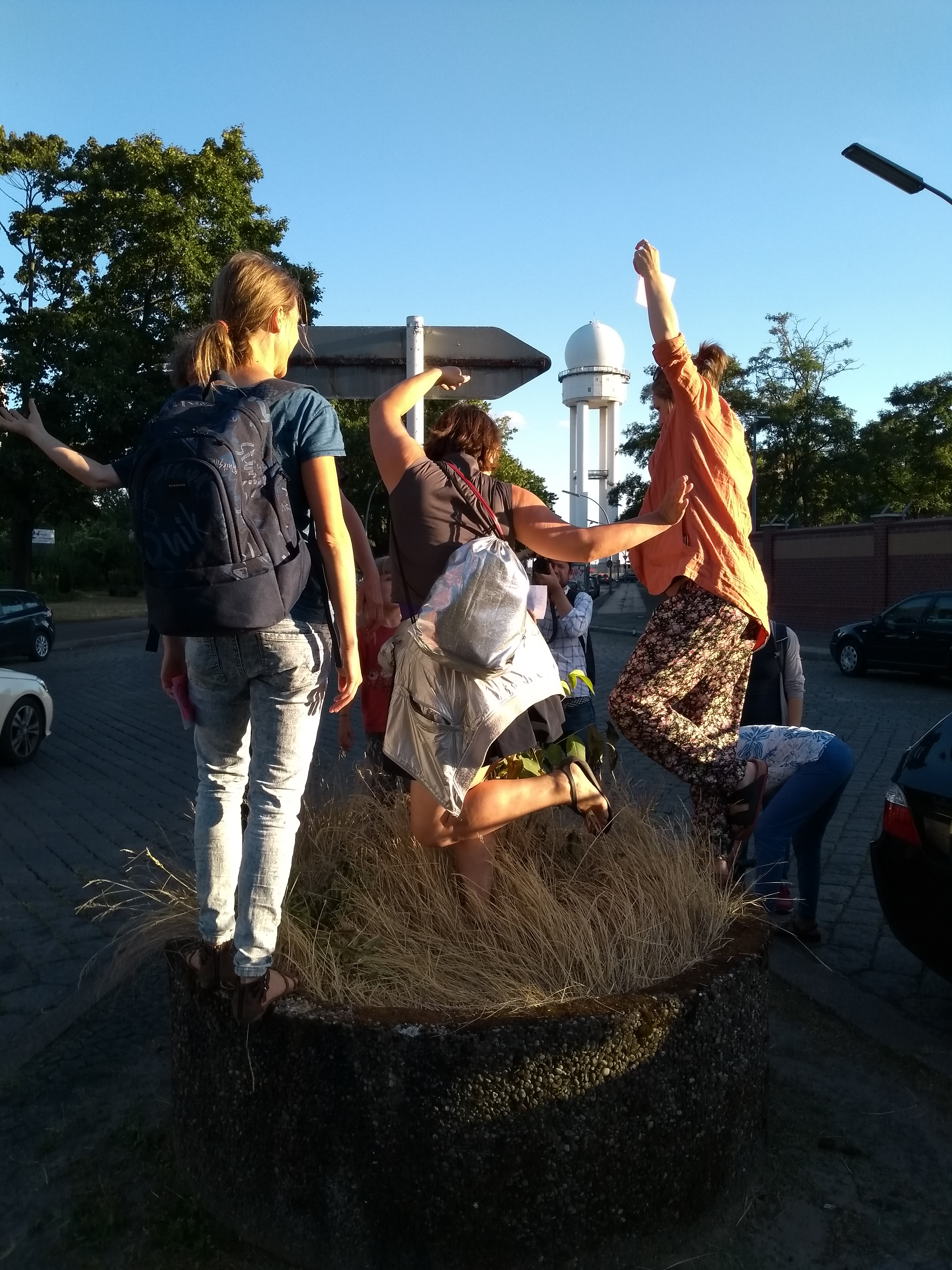
installation project presentation february 2020 at university of arts
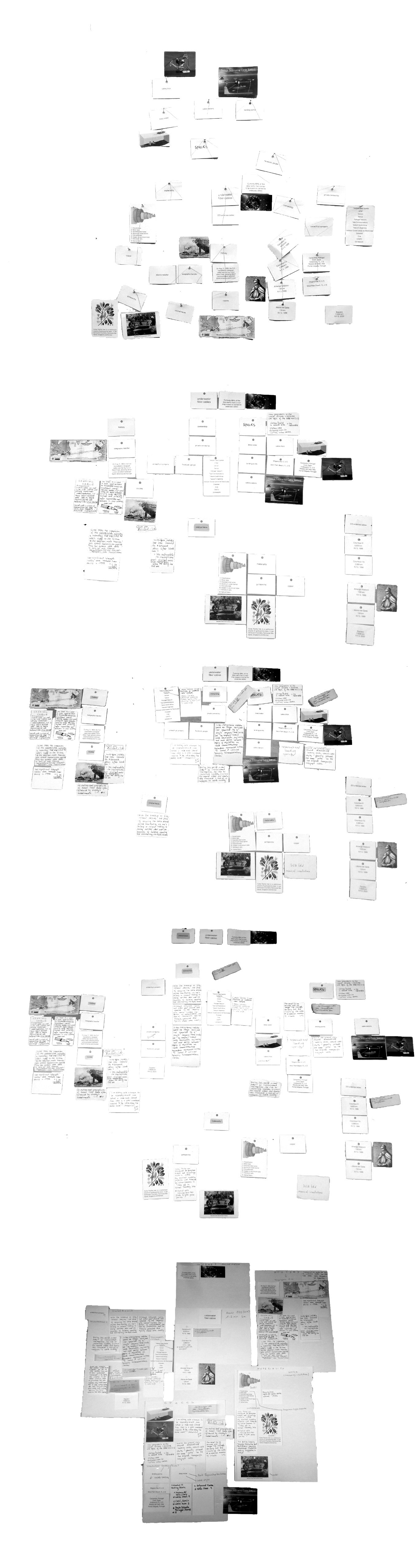
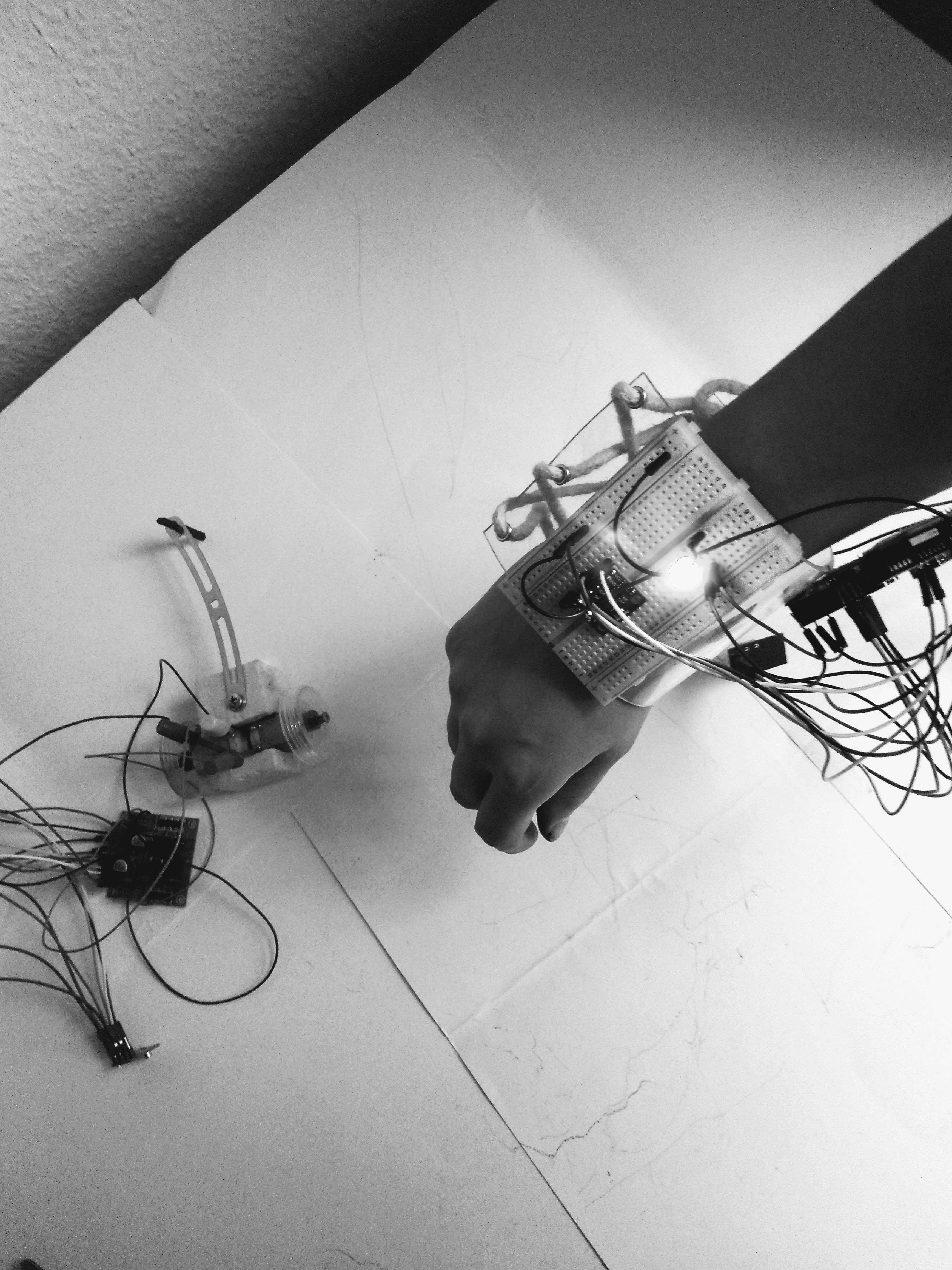
documentation of process
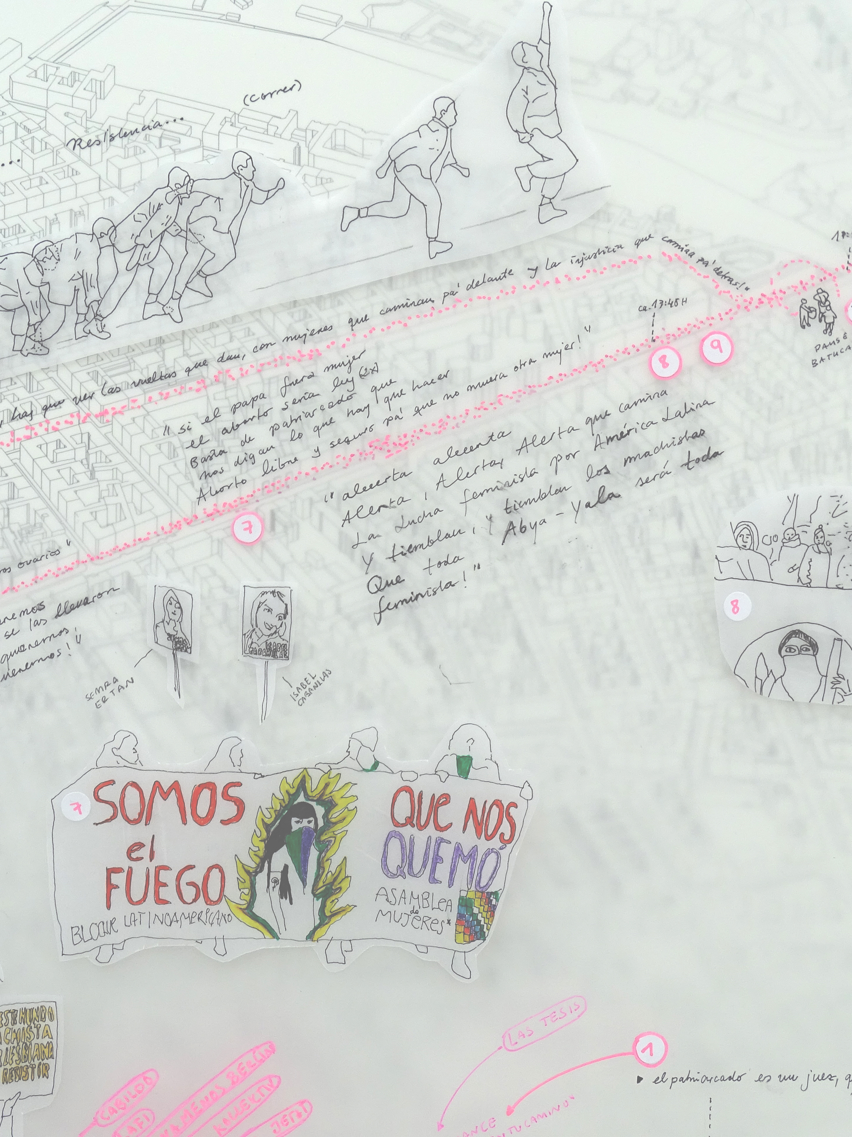
sketches of maps 2019